
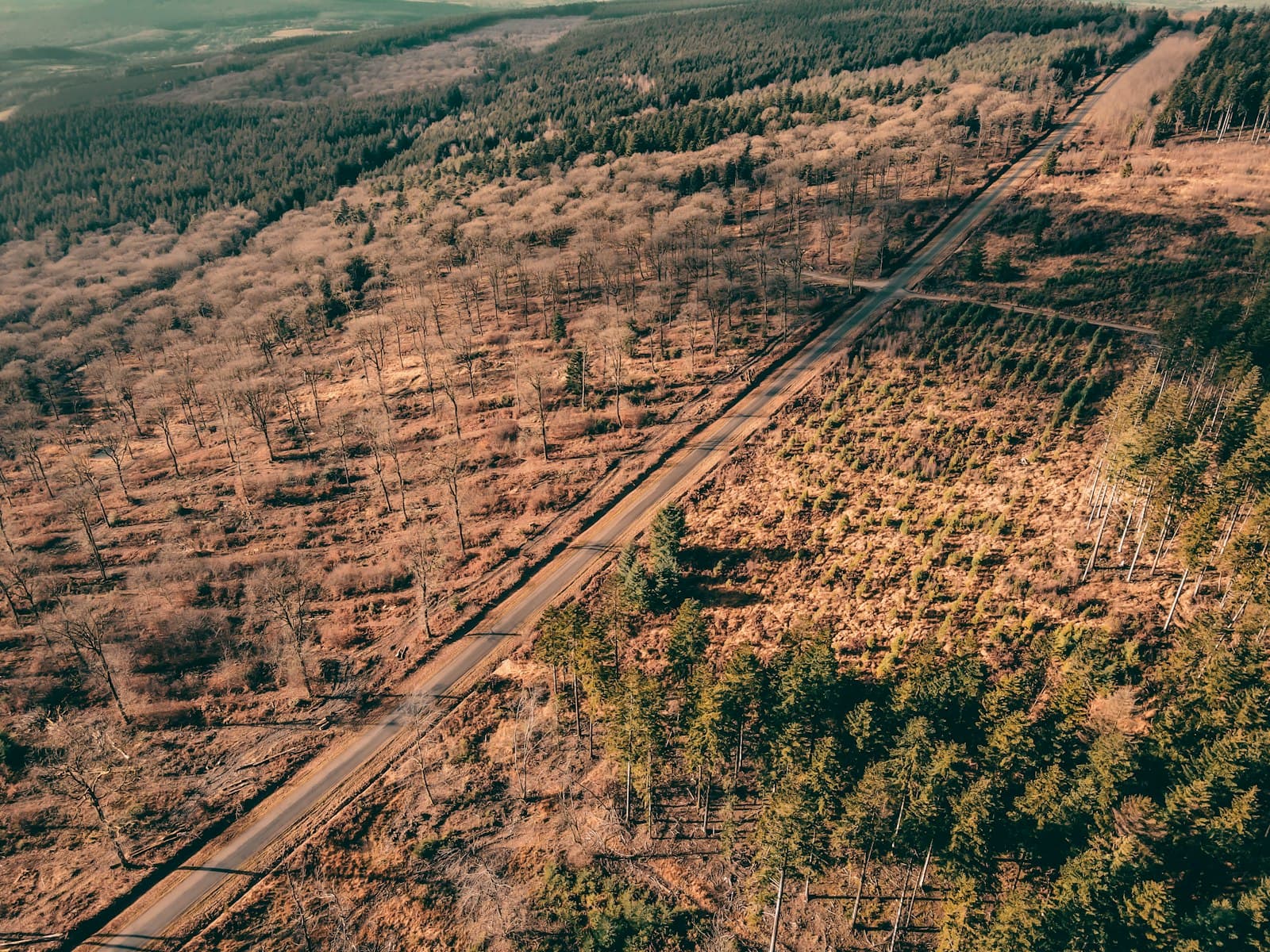
From the ridge above the river, the line is easy to see. On one side, closed canopy. On the other, maize, tea and fresh timber stacked beside a dirt road. Residents say the line has moved more than once in the past decade, and nobody agrees on where it is supposed to be.
Over three months, The GreenScope reviewed boundary maps, spoke to forest officers, community scouts and families on both sides of the line, and visited sites where clearing had been reported. The picture that emerges is not one of a single cause, but of overlapping pressures that existing protections were not designed to handle.
A boundary that depends on who you ask
Several families showed reporters title documents that place their plots inside what official maps describe as gazetted forest. Forest officers say some of those documents are not valid. The families say they were issued by the government and that they have farmed the land for years.
We were told this was our land. Now we are told it is the forest's land. Nobody comes to explain which paper is the right one.
Without a single accepted map, enforcement becomes selective. Scouts described being told to stop some clearing while other sites nearby went unchallenged.
Timber demand from outside the forest
Traders and transporters interviewed for this story described a steady demand for timber and charcoal from towns well beyond the forest. Most of what they move is legal, they said, but the paperwork that would distinguish legal from illegal timber is easy to reuse.
What happens next
Officials say a boundary review is planned. Community groups want any review to include the families affected and to be published in full. Until then, the line on the ridge will keep moving one season at a time.